


|
By clicking Subscribe, I agree to receive advertising and other marketing messages from MyOfficeSupplies.com under the terms of the Privacy Policy and User Agreement. |
|
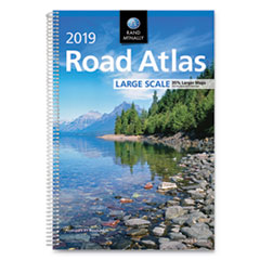
Rand McNally Road Atlases, 2019, Spiral, 264 Pages
The atlases contain maps of every U.S. state, plus over 300 detailed city insets and national park maps. National Parks guide highlights essential visitor information and offers insightful travel tips.
| $22.95 | Retail $23.95 |
Manufacturer:
Advantus Corporation
Item:
RM528019635
UPC Code:
070609019635
Our Part #
AVTRM528019635
Condition
New
Extended Warrenty
| 1 Year Extended Warrenty | $3.00 |
$22.95EA
$23.95
$23.95
Availability
In Stock
You may be also interested
Product description
Specifications
Binding
Spiral
Depth
0.88"
Edition
2019
Height
15 3/8"
Language(s)
English
Number of Pages
264
Post-Consumer Recycled Content Percent
0%
Pre-Consumer Recycled Content Percent
0%
Product_Description
ATLASROAD2019LG SCALE
Reference Book Type
Atlas
Total Recycled Content Percent
0%
Width
11"
Product Type
Reference Books-Atlas